


Everyday Geography by Dan McGovern
At the start of the project on San Pablo Avenue, I was somewhat overwhelmed by it’s complexities and vastness. Coming from the UK, there is little similar to this long straight avenue where you can witness such unique economic, social, political and environmental variations and influences. This uniqueness inspired me to view how different people interact with the landscape, especially since there were so much cultural diversity, each an agent having their own impact on place. I decided, somewhat naturally by which photographic opportunities I was taking, that the everyday geographies of San Pablo Avenue was what I’d focus on.
By documenting, analysing and reviewing the everyday geographies, which is rooted in cultural geography, it would allow me to understand how people live their lives in the East Bay and how this agency affects the world around us, constantly evolving through space and time. Rob Sullivan, in his book “The Geography of the Everyday”, claims that the first step is to locate the everyday, as, without a location the everyday is a “fleeting, floating spectre” that is difficult to underpin.
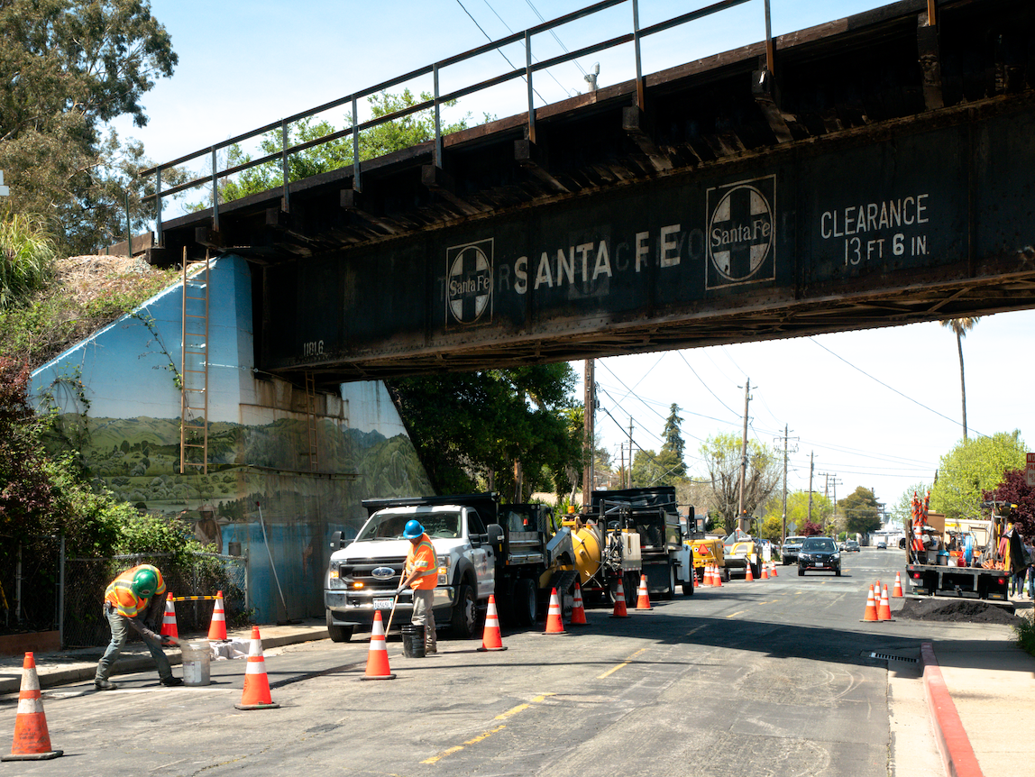
Understanding the scale of everyday geography was my first hurdle, where I wanted to accurately capture it’s dynamic actuality. I quickly realised that in some senses, the everydayness of San Pablo Avenue was extremely spatially specific and viewed differently from individual to individual, whether that be their sense of place or what they used the place for. At the same time, there were practices that I would witness which more so represented the diurnal ongoings of the broader United States, such as the bright yellow school buses as you will see in one of my photos.
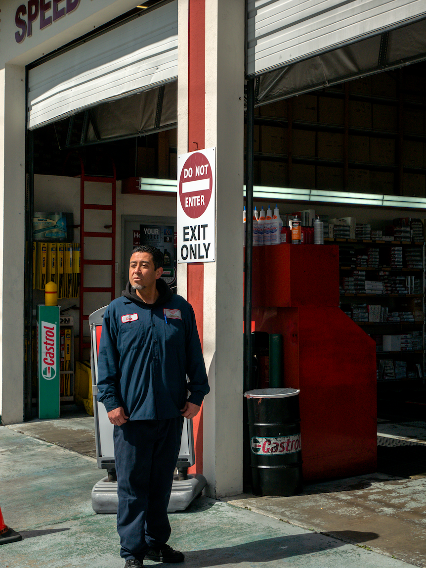
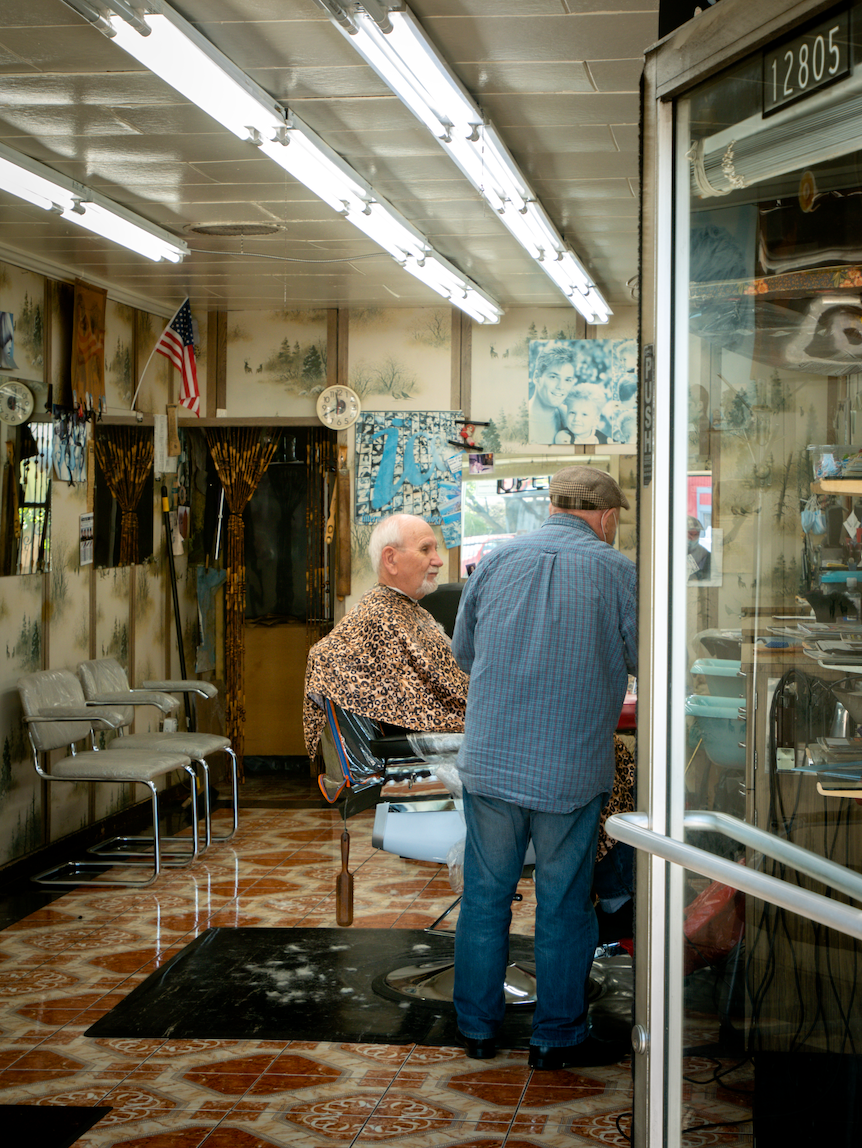
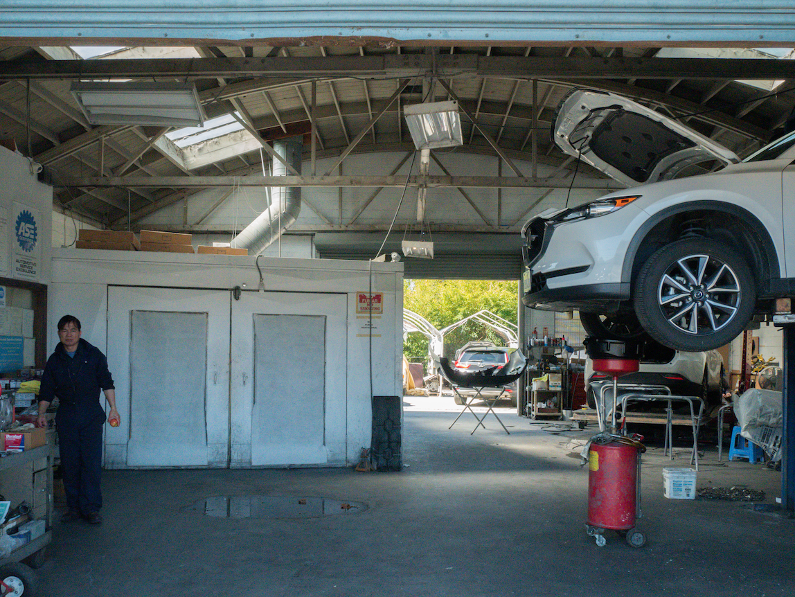
During our weekly trips, I recognised that the everyday is metaphorically buried. People were partaking in their daily monotonous tasks, whether that be a car mechanic sat at his computer reading the news or a barber cutting a clients hair. To them, as an insider, there was nothing special about it, but as an outsider, it was remarkable. For example, one of my photos is of a barber called Dmitry in Richmond. It provoked so many questions - is he Russian? How long’s he been here for? How has he seen San Pablo Avenue evolve and does he feel a strong sense of belonging or a sense of dislocation?
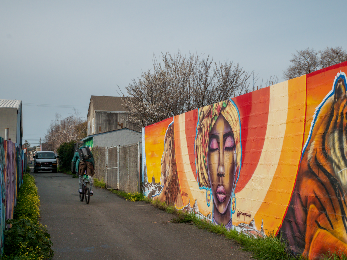
This also brought up ideas of the everyday movements of people. The barber was stationary, almost fixed to his shop, whereas others, such as the AC Transit users are mobile. This emphasis the everyday nature of time space compression as Doreen Massey highlights. As space has been compressed into time, people’s everyday lives vary much more than they would have 50 years ago; to some, San Pablo Avenue is their life and soul where they have little mobility but therefore have a strong sense of local place with physical and social connections. To others, San Pablo is just be a route on their commute to work as they drive or get the bus along it, where buildings and people are just a blur, lacking any real sense of place as.
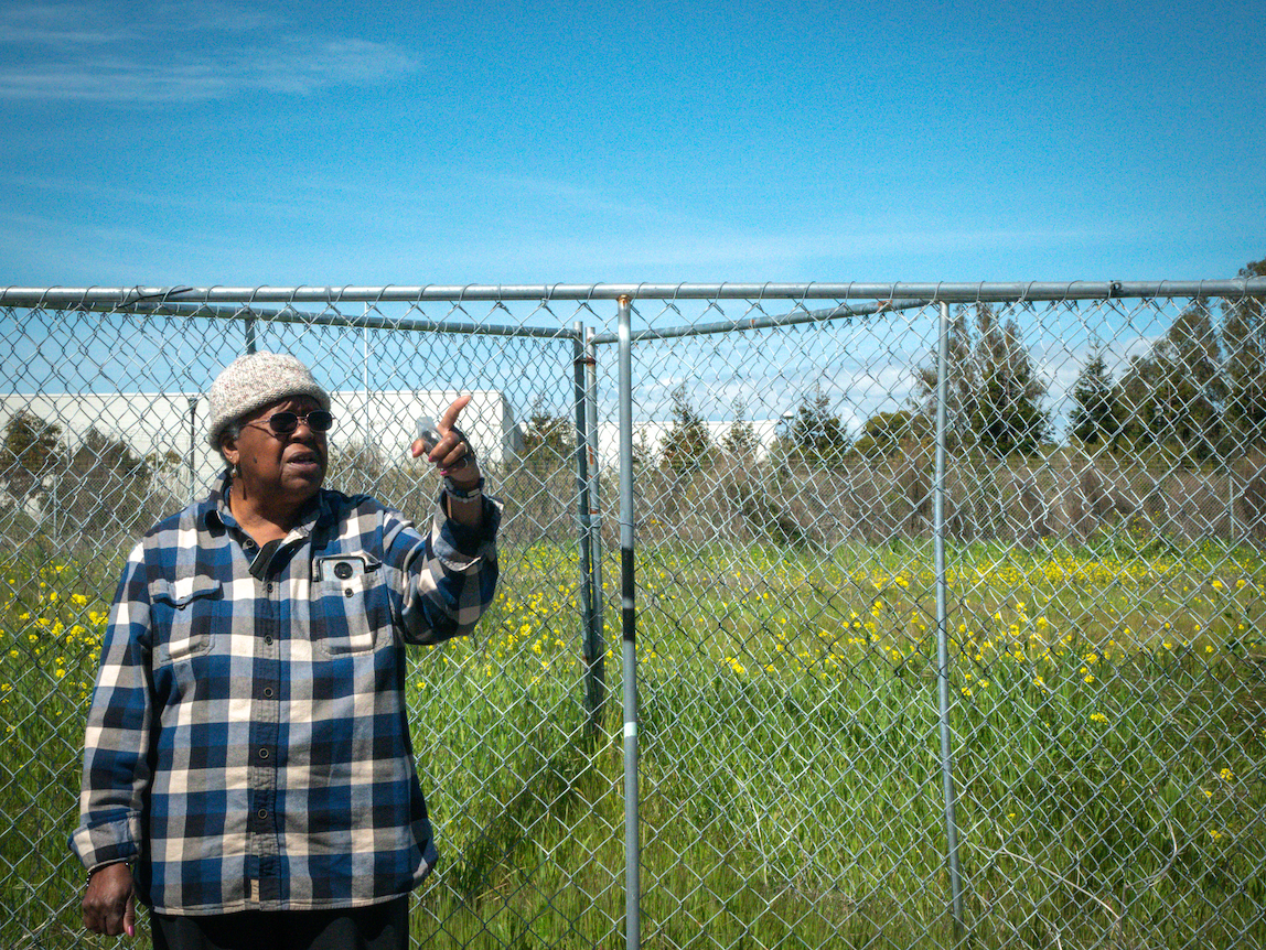
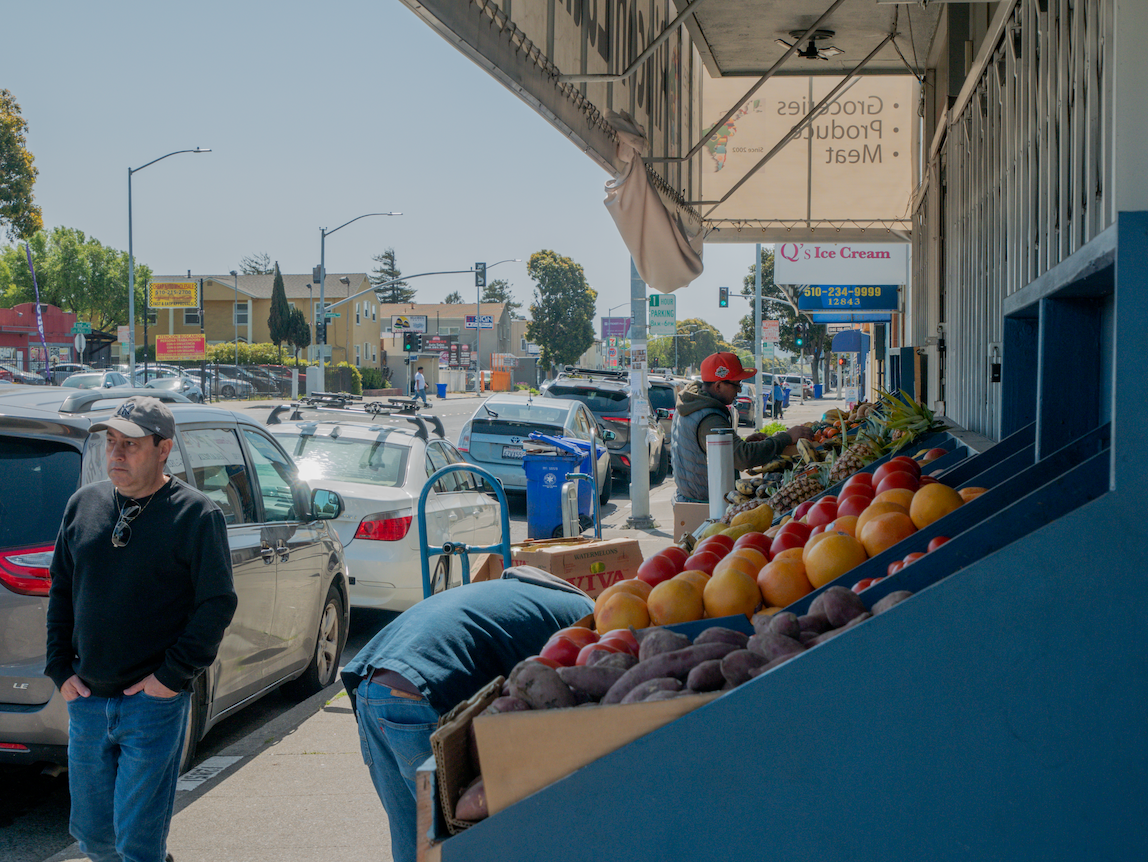
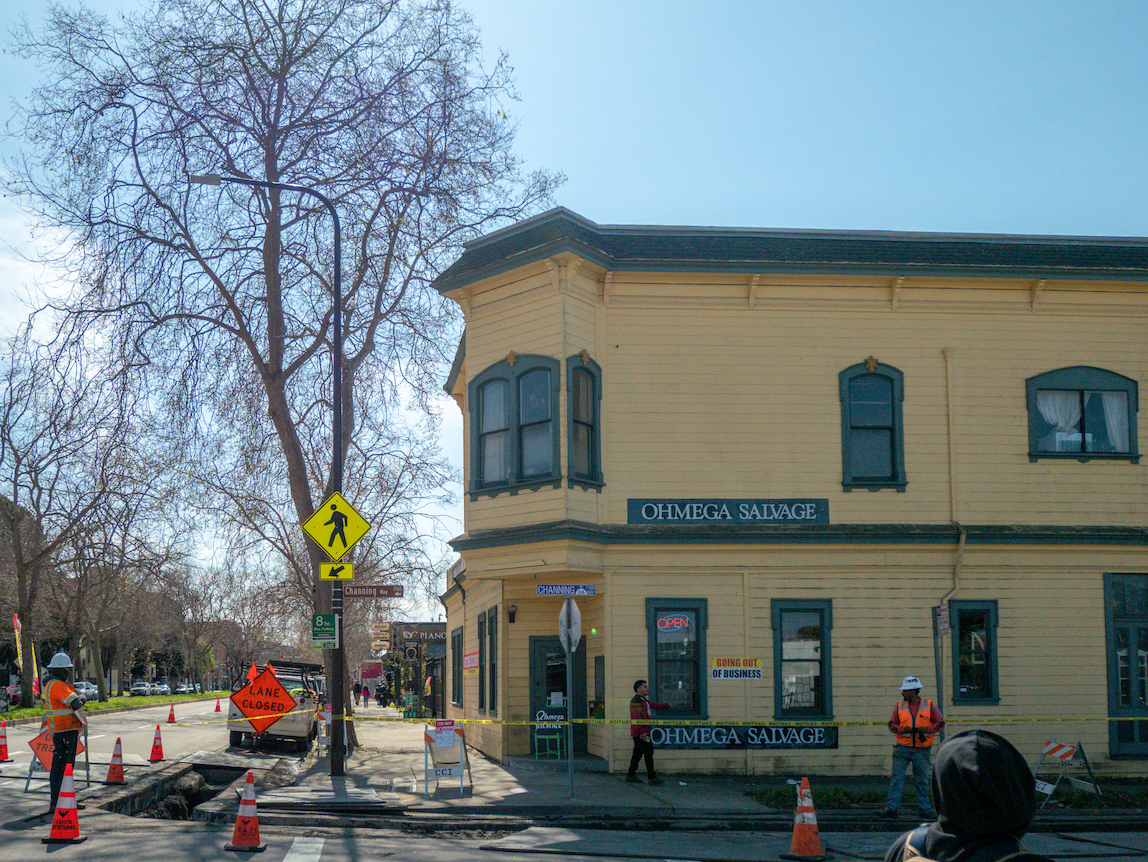
From our experience during the trips, these various identities that each individual has regarding San Pablo Avenue a lot of the time were a source of richness, such as Ish another barber, who was proud and passionate about his business and area, saying that “this is the best town in the Bay”, highlighting a strong sense of place. At the same time, however, these identities can produce conflict; to me, the racial segregation of San Pablo was extremely prominent compared to the UK. It was fascinating to see spatially that in just a few blocks how quickly economic and social inequality was visible such as near the Oakland CBD. The huge variation in cultures influences the everyday activities of each individual, often relating to wealth e.g. transport or which neighborhood they live in; while these are specific and unique to the East Bay, broader socio-spatial patterns could be viewed such as the contestation of space and power geometries.
At the start of the project on San Pablo Avenue, I was somewhat overwhelmed by it’s complexities and vastness. Coming from the UK, there is little similar to this long straight avenue where you can witness such unique economic, social, political and environmental variations and influences. This uniqueness inspired me to view how different people interact with the landscape, especially since there were so much cultural diversity, each an agent having their own impact on place. I decided, somewhat naturally by which photographic opportunities I was taking, that the everyday geographies of San Pablo Avenue was what I’d focus on.
By documenting, analysing and reviewing the everyday geographies, which is rooted in cultural geography, it would allow me to understand how people live their lives in the East Bay and how this agency affects the world around us, constantly evolving through space and time. Rob Sullivan, in his book “The Geography of the Everyday”, claims that the first step is to locate the everyday, as, without a location the everyday is a “fleeting, floating spectre” that is difficult to underpin.
Understanding the scale of everyday geography was my first hurdle, where I wanted to accurately capture it’s dynamic actuality. I quickly realised that in some senses, the everydayness of San Pablo Avenue was extremely spatially specific and viewed differently from individual to individual, whether that be their sense of place or what they used the place for. At the same time, there were practices that I would witness which more so represented the diurnal ongoings of the broader United States, such as the bright yellow school buses as you will see in one of my photos.
During our weekly trips, I recognised that the everyday is metaphorically buried. People were partaking in their daily monotonous tasks, whether that be a car mechanic sat at his computer reading the news or a barber cutting a clients hair. To them, as an insider, there was nothing special about it, but as an outsider, it was remarkable. For example, one of my photos is of a barber called Dmitry in Richmond. It provoked so many questions - is he Russian? How long’s he been here for? How has he seen San Pablo Avenue evolve and does he feel a strong sense of belonging or a sense of dislocation?
This also brought up ideas of the everyday movements of people. The barber was stationary, almost fixed to his shop, whereas others, such as the AC Transit users are mobile. This emphasis the everyday nature of time space compression as Doreen Massey highlights. As space has been compressed into time, people’s everyday lives vary much more than they would have 50 years ago; to some, San Pablo Avenue is their life and soul where they have little mobility but therefore have a strong sense of local place with physical and social connections. To others, San Pablo is just be a route on their commute to work as they drive or get the bus along it, where buildings and people are just a blur, lacking any real sense of place as.
From our experience during the trips, these various identities that each individual has regarding San Pablo Avenue a lot of the time were a source of richness, such as Ish another barber, who was proud and passionate about his business and area, saying that “this is the best town in the Bay”, highlighting a strong sense of place. At the same time, however, these identities can produce conflict; to me, the racial segregation of San Pablo was extremely prominent compared to the UK. It was fascinating to see spatially that in just a few blocks how quickly economic and social inequality was visible such as near the Oakland CBD. The huge variation in cultures influences the everyday activities of each individual, often relating to wealth e.g. transport or which neighborhood they live in; while these are specific and unique to the East Bay, broader socio-spatial patterns could be viewed such as the contestation of space and power geometries.